Map of Puy de Dôme
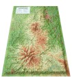
This relief map shows the Puy de Dôme region. The quality of the printing makes it easy to identify the region's mountains and the ideal places to take off or land a paraglider, as well as a wealth of other useful information.
Dimensions (cm) : 41 x 61
Planimetric scale: 1/300,000
Height scale: 1/75,000
Possibility of adding a frame
Discover the relief on either side of the Puy de Dôme valley
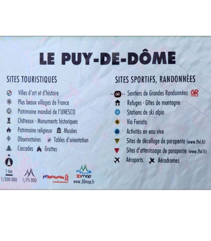
Decorate your living room with the Puy de Dôme relief map. Discover the sumptuous mountains and valleys on either side of the Puy de Dôme. See paragliding sites, ski resorts, Via Ferrata sites and much more:
- UNESCO World Heritage sites
- France's most beautiful villages
- Cultural heritage
- Museums
- Religious heritage
- Natural sites
- Waterfalls
- Prehistoric sites
- Caves
- Belvederes, orientation tables
- Long-distance hiking trails
- Refuges
- Alpine and Nordic ski resorts
- Via Ferrata
- Golf courses
- White-water activities
- Paragliding sites (www.ffvl.fr)
- Take-offs, Landings
- Airports, Aerodromes
100% FRENCH MANUFACTURING :
3DMap brand maps offer printing quality far superior to that of older relief maps. This is the fruit of major R&D efforts and French design.
In addition, 3D processing software has been specifically developed to enable wider use of geographic information, such as bathymetric data.
For a better presentation, complete your relief map with a suitableframe (available in 4 colors).
And don't forget thatAir et Aventure also offers many other 3D maps from 3DMap. Don't hesitate to discover them!


