A precise and practical relief map
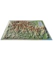
The Massif du Mont-Blanc relief map gives you a bird's-eye view of the region. Thanks to its 3D relief, you'll be able to easily find the region's mountain ranges, as well as the best spots for paragliding.
Dimensions (cm): 41 x 61
Planimetric scale: 1/200 000
Height scale: 1/160,000
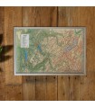
Possibility of adding a frame
One of the most comprehensive 3D maps on the market
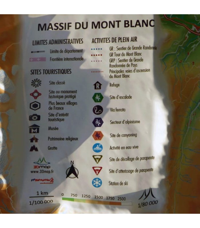
This relief map shows you the area around Mont Blanc. It will guide you through the Mont Blanc massifs. You'll find paragliding sites, observatories, the most beautiful villages in France and Spain, and much more:
- Natural sites
- Glaciers and peaks
- Spa resorts
- Ski resorts
- Natural sites
- Via Ferrata sites
- Refuges
- Museums
- Golf courses
- Beaches
- Airfields
- Monuments and castles of legend
- Religious sites
- Hiking trails
- Trails
- White water activities
- Remarkable itineraries
- Orienteering tables
- Hydrological, natural and hypsometric data
- Administrative data
3D Map: French relief maps
3DMap brand maps mark a new departure in the world of cartography. The result of extensive R&D efforts, they offer exceptional quality. Created by two brothers from the Vaucluse region of France with a passion for geography, 3D Map 's maps are designed to highlight the cultural, sporting and tourist attractions of France's regions.
Last but not least, you can add a frame to your relief map ( available in 4 colors) for a more attractive presentation.


