Click for more products.
No produts were found.
Click for more products.
No produts were found.
Welcome

3DMap Verdon Relief Map

Gorges du Verdon map

This relief map presents the Verdon region. Thanks to the quality of its design, you'll be able to easily locate the region's mountains and the ideal places to take off or land a paraglider, as well as a host of other useful information.

Dimensions (cm) : 41 x 61

Scale : 1/170,000

Possibility of adding a frame.

Read moreShow less
€39.90 (tax incl.)
In stock, immediate delivery!
Close
Reference:
4057
Description

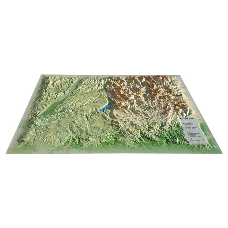
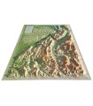
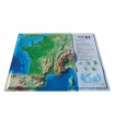
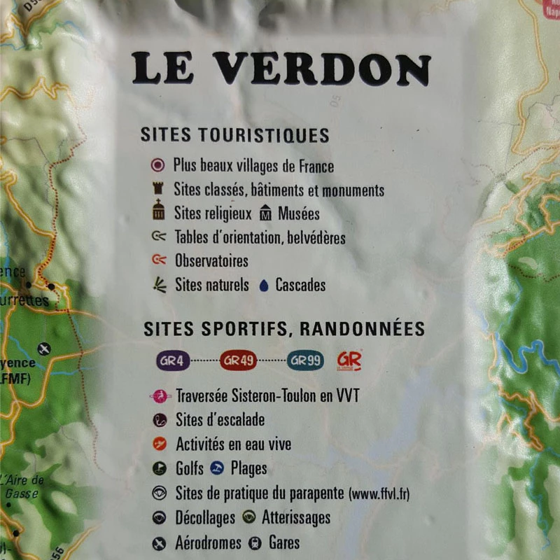
Discover the Verdon relief

Contemplate one of France's most beautiful regions from the comfort of your living room with 3D Map 's Verdon relief map. Discover its wonderful gorges. You can also view paragliding sites, ski resorts, Via Ferrata sites and much more:

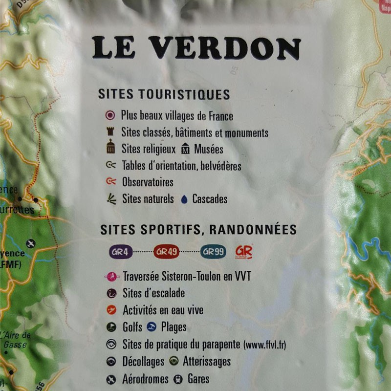
  • France's most beautiful villages
  • Listed sites, buildings and monuments
  • Religious sites
  • Museums
  • Viewpoints, belvederes
  • Observatories
  • Natural sites
  • Waterfalls
  • GR4 - GR49 -GR99 (GR)
  • Sisteron-Toulon mountain bike crossing
  • Climbing sites
  • White water activities
  • Golf
  • Beaches
  • Paragliding sites (www.ftvl.fr)
  • Take-offs
  • Landings
  • Airfields
  • Railway stations
  • Departmental boundaries
  • Communal boundaries

100% FRENCH MANUFACTURE:

3DMap brand maps offer print quality far superior to that of older relief maps. This is the fruit of major R&D efforts and French design.

In addition, 3D processing software has been specifically developed to enable wider use of geographic information, such as bathymetric data.

For a better presentation, complete your relief map with a suitableframe (available in 4 colors).

And don't forget thatAir et Aventure also offers many other 3D maps from 3DMap. Don't hesitate to discover them!

Read moreShow less
Product Details
4057

Data sheet

Type of map
Map
TYPE OF PRODUCTS
RELIEF MAP
BF Types
Relief maps
Related products
€35.90 (tax incl.)
A frame to enhance your relief map This stylish wooden frame is ideal for 3DMap embossed maps. Color: White / Black / Wood / Ash Dimensions (cm): 43 x 63 Width (mm) : 15 Thickness (mm) : 30
In stock, immediate delivery!
€24.00 (tax incl.)
Vol-rando in France: topo-guide to the most beautiful flights Discover the most beautiful vol-randos in France. From the Corsican coast to the magnificent mountain pastures of Haute-Savoie, via the dormant volcanoes...
In stock, immediate delivery!
€19.90 (tax incl.)
Relief map for recreational and educational use Discover this mini relief map of Lake Annecy. A famous lake in the French Hautes-Alpes region, Lake Annecy is world-famous. Its location and scenery make it a must for...
On order
€39.90 (tax incl.)
Map of France's most beautiful mountains This relief map features the Hautes Alpes region. Thanks to the quality of its design, you'll be able to easily locate the region's mountains and the ideal places to take off...
In stock, immediate delivery!

Settings

Menu