100% French Vanoise map
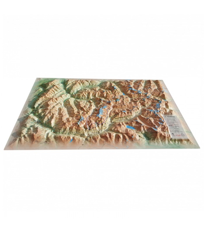
This relief map features the Vanoise massif. Thanks to the quality of its design, you'll be able to easily locate the region's mountains and the ideal places to take off or land a paraglider, as well as a host of other useful information.
Dimensions (cm): 41 x 61
Scale: 1/150,000
Possibility of adding a frame
Showcase your region with the Vanoise relief map
Dress up your living room with the Vanoise relief map. From Modane to Bourg Saint Maurice, discover the sumptuous mountains and valleys between the Maurienne and Italy. Here you'll find famous sites such as Petit Mont Blanc and Lac de Mont-Cenis. See also paragliding sites, ski resorts, Via Ferrata sites and much more:
- Natural sites
- Glaciers and peaks
- Spa resorts
- Natural sites
- France's most beautiful villages
- Refuges
- Observatories
- Museums
- Golf courses
- Beaches
- Airfields
- Monuments and castles of legend
- Religious sites
- Hiking trails
- Trails
- White water activities
- Remarkable itineraries
- The network of Vauban sites
- Orienteering tables
- Hydrological, natural and hypsometric data
- Administrative data
100% FRENCH MANUFACTURE:
3DMap brand maps offer print quality far superior to that of older relief maps. This is the fruit of major R&D efforts and French design.
In addition, 3D processing software has been specifically developed to enable wider use of geographic information, such as bathymetric data.
For an even better presentation, complete your relief maps with a suitable frame (available in 4 colors).


